GeoAI Hack
Building Operational AI Solutions Using Satellite Data
Co-Organised by
datacraft
datacraft is a unique Club model, inspired by companionship, to enable data experts to train among peers and enable companies to accelerate their AI projects. The first Club opened in Paris in February 2020. Today, it has 44 major corporate members (Accor, Airbus, BNP Paribas, Bouygues, Egis, L'Oréal... but also AP-HP, CNES, the French Navy...), startups and more than 600 researchers and freelance AI experts

About
GeoAI Hack is a 2-day hackathon co-organised by InstaDeep and datacraft and supported by the French State as part of the AI Action Summit 2025. It is designed to bring together creative minds, AI enthusiasts, and professionals to solve a real-world challenge: building operational geospatial solutions fueled by AI. Participants will harness cutting-edge geospatial data and Artificial Intelligence to develop actionable solutions for climate adaptation. This collaborative event emphasises creativity, technical innovation and impactful applications to address Africa's unique climate needs, driving sustainable development and empowering local communities.
The Competition
Building operational
AI solutions using satellite data
The GeoAI Hackathon invites participants to harness earth observation data from Sentinel-2 and Landsat-8 satellites to tackle a critical environmental challenge for social good. The event focuses on enabling the development of operational AI solutions by leveraging open-source satellite data and state-of-the-art geospatial frameworks.
Participants will be equipped with cutting-edge tools, including InstaDeep's InstaGeo—an open-source geospatial machine learning framework that simplifies workflows and accelerates the creation of impactful remote sensing applications.
InstaGeo simplifies the workflow for creating operational remote sensing solutions with its three key sub-packages:
Data Processing : Seamlessly preprocess and manage multispectral satellite data.
Model Development : Build robust, scalable models tailored to geospatial challenges.
App Deployment: Deploy operational applications effortlessly.
Challenge
Combatting Desert Locusts
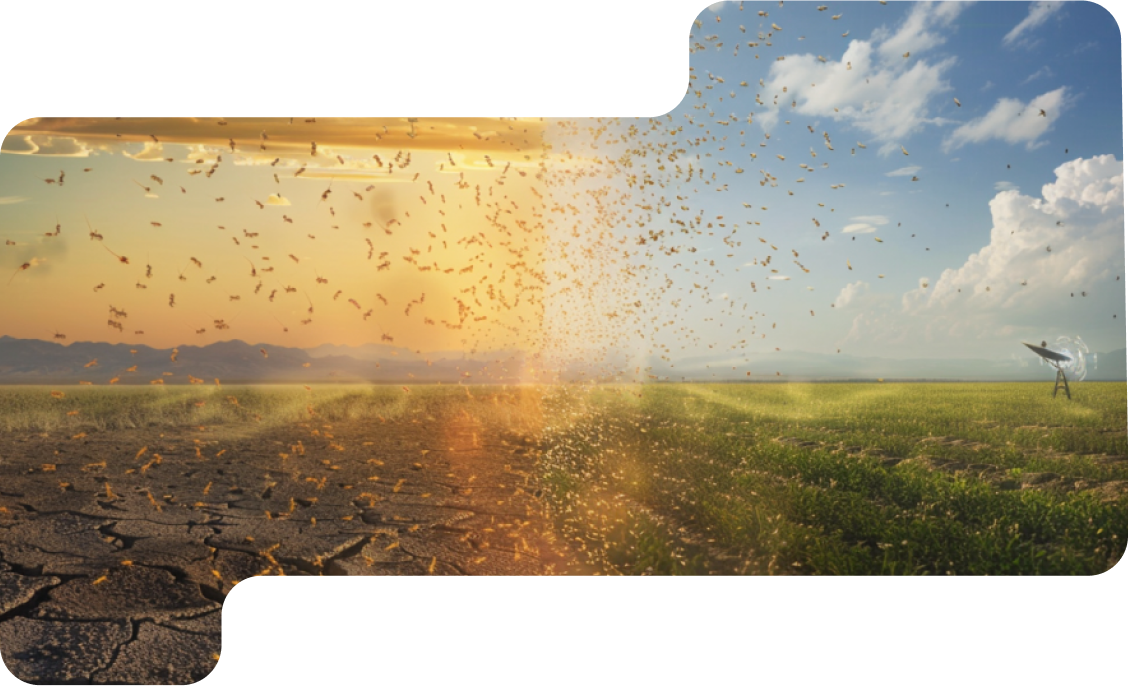
The hackathon’s mission is to develop an operational early warning system for desert locust monitoring and control. Participants will leverage open-source multispectral satellite data to build scalable models capable of forecasting potential desert locust breeding grounds across continental scales.
Desired Impact
Innovating Geospatial AI Solutions
Scale locust monitoring efforts using machine learning.
Transition from human-centric monitoring to automated, data-driven insights.
Enhance food security and reduce response times through actionable predictions.
Prizes
Exciting rewards
await top participants
Compete to advance AI for good
Apply now and compete individually or in teams to solve real-world challenges using satellite data, and stand a chance to win incredible rewards.
1st Place 2500 Euros
2nd Place 1500 Euros
3rd Place 1000 Euros
Mentors
Leading AI experts,
providing valuable guidance

Jeanne Gautier
Data scientist @ datacraft

Iffanice Houndayi
Research Engineer @ InstaDeep

Mohamed Salem Jedidi
AI Engineer @ InstaDeep

Hugo de Rohan Willner
Research Engineer @ InstaDeep

Maxime Seince
Research Engineer @ InstaDeep
Rym Oualha
Machine Learning Engineer @ InstaDeep

Ibrahim Salihu Yusuf
Research Engineer @ InstaDeep

Marc de Vaugiraud
Data scientist, Head of GenAI program @ datacraft
Roger Trullo Ramirez
Senior Research Engineer @ InstaDeep

Olivier Peltre
Research Engineer @ InstaDeep
Judges
Delivering expert
evaluations and insights

Peter Addo
AI Lead and Head of the Emerging Tech Lab @ French Development Agency (AFD)

Youssef Ben Dhieb
Senior AI Research Engineer @ InstaDeep
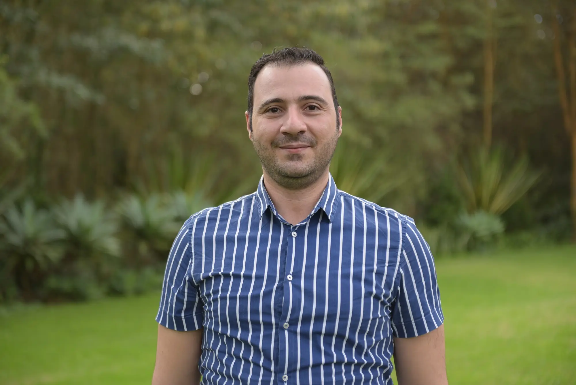
Omran NAJJAR
AI Product Owner @ Humanitarian OpenStreetMap Team

Raphaël Vienne
Head of AI @ datacraft

Lucile Marescot
Researcher @ the International Cooperation for research in Agriculture and Development (CIRAD)

Philippe Toublant
Chief Data Officer @ Groupe Colas
Program
Dynamic AI challenges and networking
opportunities
Day 1 - Tuesday, February 4th
8:30 - 9:30 Check-in and welcoming
9:30-10:30 Opening ceremony
10:30 Hackathon Kick-off
10:30 - 19:00 Nonstop coding. Note: The venue will be open until 8 PM, but participants are free to leave in the afternoon if needed.
Day 2 - Wednesday, February 5th
8:30 - 9:00 Welcome coffee
9:00 - 12:00 Continue hacking
16:00 Submissions deadline
16:30 - 18:00 Demo
18:00 - 18:30 Judging and deliberation
18:30 - 19:00 Award ceremony and closing Notes
19:00 - 20:00 Networking cocktail and farewell



Our Partners
Meet the organisations making this possible
Why participate in GeoAI Hack ?
Solve a real world challenges
Immerse yourself in an innovative challenge that utilises satellite data and AI to tackle pressing global issues such as climate change and be part of a movement that leverages technology for good.
Learn from Experts
Gain valuable insights from industry leaders, Data Science and satellite imaging experts through the challenge and their mentorship. Build your knowledge of GeoAI and operational AI solutions
Collaborate and Network
Connect with a diverse community of innovators, including data scientists, developers, engineers, and domain experts. Collaborate in multidisciplinary teams to create impactful solutions.
Access Exclusive Resources
Get access to high-resolution satellite and geospatial data to bring your innovative ideas to life and develop actionable solutions for climate adaptation.
FAQ
Everything you need to know, simplified
Is it free?
Yes, applying and competing in the hackathon is free.
How to participate ?
Once you register, you will be added to the selection process.
How do I know I am selected to compete ?
You will receive a confirmation email to let you know the progress on the selection process. Our team will review applications and select candidates based on relevant expertise.
What skills do I need to be able to participate in the hackathon?
The GeoAI Hackathon is open to anyone passionate about leveraging AI and satellite data to solve real-world challenges. It is preferred that you are proficient in Python programming, experienced with Machine Learning techniques and frameworks and have a knowledge of remote sensing and geospatial Machine Learning (a strong plus). Whether you're an industry expert, researcher or student, this is your opportunity to showcase your skills and contribute to impactful solutions.
Can I participate online?
No, you have to be present onsite to compete in the hackathon.
What resources will be provided ?
You’ll receive access to satellite datasets for building AI solutions. Also, mentorship and technical support will be available throughout the hackathon.
Can I participate as part of a team?
Yes, you can form a team of up to 4 members. If you don’t have a team, you can participate individually.
What are the prizes?
The prizes are announced in the prizes section above.
Who should I contact for more information?
For any additional questions, reach out to us at our contact form in the section below or by email at contact@geoaihack.com
How can I check for security permissions for company laptop beforehand ?
You can check both Google Colab and Kaggle for the needed permissions.